(Click on the right/left side of the image to see more.) The weather forecast looked very promising as we were heading out towards Landmannalaugar on a five hours bus trip. Once we had left the city, it became clear where the locals get their inspiration for all those colors: nature. Stunning scenery kept me gazing out of the window all the way. It was a special bus with high suspension and offroad tires to be able to drive through rivers and on the dirt tracks into the wildernis.
[showhide type=”map1″ more_text=”Show Laugavegur route on the map” less_text=”Hide map” hidden=”yes”] [/showhide]
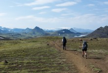
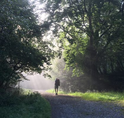
Landmannalaugar, being the start or end of the very popular track, is a busy spot in the middle of nowhere but once we started hiking, we left the crowds behind, crossing a lava valley gaining hight gradually. On some places at the side of the path, steam was wasting into the air accompanied by the smell of sulphur. The already scarse vegetation got less with the height and revealed varieties of colored stone changing from from red to yellow and even turquoise.
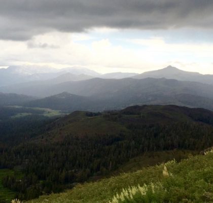
In the evening we reached the first hut and campsite in a mountainous surrounding with sharp cut rocks and long stretched snowfields. We kept crossing through those fields the next day until, very suddenly, we stood above of a green landscape with slanting hills and mirroring lakes in the distance. The descent brought us into green fields crossing rivers and streams. We had to cross quite a few rivers, sometimes on bare feet through the ice cold water. As we made such good progress we decided to skip two campsites that day.
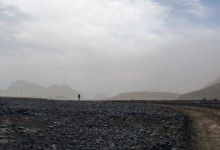
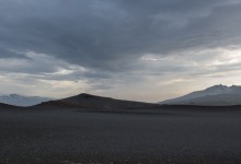
To get to the next suitable campsite however, a barren plain, like a desert, had to be crossed. The wind swept the sands up creating a ghostly athmosphere and hiding the far away hills behind what looked like mist. The wasteland streched out for many kilometers and was stone dry. Only when evening fell, the colors returned and we reached the small valley where we could set up the tents.
On the third day we arrived in a wide glacial valley which was also the beginning of a river delta. The area is known as Þórsmörk and is one of the few places where we saw trees and bushes, the warmth of the sun in combination with the high humidity made it feel almost tropical. Along the river was a perfect place to spend the night and get some much needed rest. It was the official end of the Laugavegur track but we had planned to add the Fimmvörðuháls route to reach the south coast.
[showhide type=”map2″ more_text=”Show Fimmvörðuháls route on the map” less_text=”Hide map” hidden=”yes”] [/showhide]
A very steep climb awaited us in the morning all the way up between two majestic glaciers, Mýrdalsjökull and Eyafjallajökull onto the legendary vulcano which had grounded air traffic in 2010. It was a special feeling to set foot on a part of the world only given shape a few years ago, the earth was still feeling warm and at various places steam clouds were glistening in the sun.
As soon as we had passed the crater, the sea appeared in the far distance. The descent towards the coast was rather monotonous and seemed to strech forever, but the view at the Atlantic Ocean just ahead made it enjoyable after all. As if to reward hikers who made it this far, the massive waterfall Skógafoss marked the end of one of the most beautiful trails ever.
This is the second part of a series about Iceland. Click below on the Iceland button to see the other parts.

How is life fin?? I like to see your photo, such an amazing adventure and beautifull landscape